Merrymeeting Bay / Kennebec Estuary Research Program (Bowdoin)

Projects > ES 203
Developing an environmental history of the Kennebec Estuary
Environmental Studies - ES 203
In the spring of 2006, students in ES 203 are working on a range of community based research projects that will contribute to an environmental history of the Kennebec Estuary and Merrymeeting Bay.
 |
 |
| Nancy Sferra of TNC | Mapping Old Foundation at the Site |
Specifically two projects include:
An Environmental History of Bufflehead Corner Preserve, Arrowsic, Maine
The Nature Conservancy has had two parcels recently donated to the Conservancy in the Town of Arrowsic. Referred to collectively as the Bufflehead Corner Preserve, this 120 acre area is located within a broader region referred to as the Kennebec Estuary, the third largest estuary on the east coast. The Kennebec Estuary is one of Maine's most significant and unique natural areas. Containing over 20 percent of Maine's tidal marshes, this estuarine system provides critical habitat for several endangered and threatened species, shorebirds, wading birds, migratory fish, and other water-dependent species. The Bufflehead Preserve contains a mix of salt marsh, forest land and shore frontage along the Kennebec River. Nature Conservancy has drafted a management plan for this preserve. A key component of the plan is a section on the land use history of this site which is not complete. This project involves researching the environmental history that can inform the development of the conservation plan. In addition, there are specific questions that this research can answer:
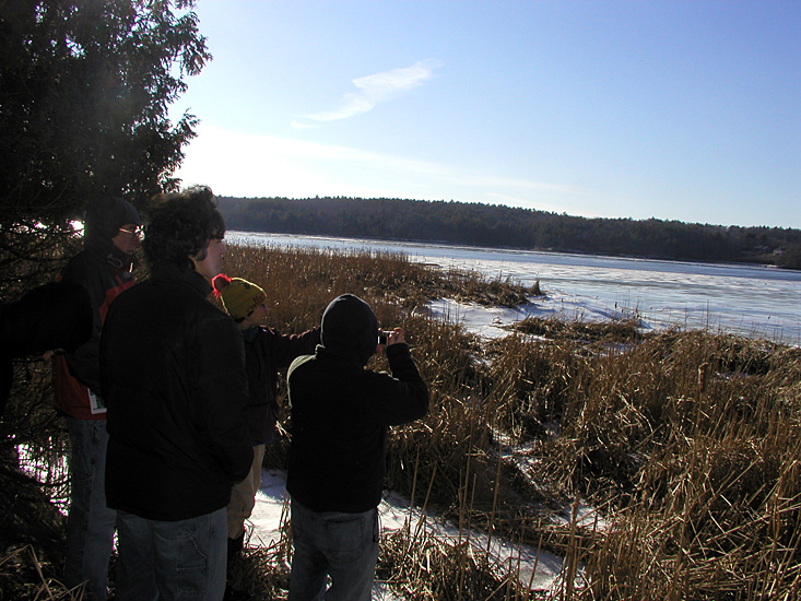
| Pictures of a site visit to the preserve with Nancy Sferra of the Nature Conservancy | |
 |
 |
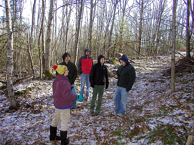
| Kennebec Estuary Students | Kennebec Estuary Students |
An Environmental History of the Cathance River Corridor
The Cathance River is one of five tributaries of Merrymeeting Bay. Extending into Bowdoin, and running through Bradley Pond in Topsham, the river flows through a landscape of forest and farmland and is the site of an active smelt fishery as well as one of the public access boat launches for Merrymeeting Bay. At the mouth of the river, the Cathance is the site of globally rare plants. The Cathance River is an accessible river for local canoeing enthusiasts and is one focus area for the Brunswick Topsham Land Trust. The Trust currently has two preserves along the river – the Bradley Pond Farm preserve (163 acre conservation easement) and in cooperation with the Highlands of Topsham, the Cathance River preserve (230 acres). The Cathance River Preserve is also the location of the Cathance River Education Alliance (CREA). Established in 2000, CREA’s mission is “to encourage and sponsor environmental, historical, and cultural appreciation and enjoyment of the Cathance River watershed, a natural gem in the midst of ongoing development in Midcoast Maine”. The organization works actively with SAD75 and Brunswick school systems. In addition, two other organizations, the Cathance River Coalition and the Topsham Conservation Commission are interested in developing a long term strategy for the preservation of the Cathance River corridor. The development of a comprehensive history of the Cathance River corridor will be useful in the development of outreach and educational programs and will serve to inform the development of a long term management plan for the river.
The project involves researching historical uses along the Cathance.
There are four different topics group topics for this project:
- A history of the conservation of the Cathance River Corridor. This project involves interviewing individuals who have been integral in the establishment of the two preserves along the Cathance River to develop a summary of conservation initiatives to date.
- A history of industry along the Cathance River. The Cathance River is the site of a feldspar mine as well as the first sawmill in Topsham built in 1716. As part of future planning for the preservation of specific parcels along the Cathance, a history of industry will provide background on this particular part of the river’s history.
- The Cathance River corridor is the site of historic as well as currently active farms. This project involves constructing a history of agriculture along the Cathance, and specifically along the section from the start of the river at Bradley Pond to the crossing at Route 201.
- A history of the Bowdoinham waterfront. This project will focus on past uses along the part of the Cathance that Projects can focus on a particular land use, such as mills or industries, or can focus on historical land uses along a particular section.
Link:
The Times Record: Opinion - Merrymeeting's Bay checkered past and potential recovery
By John Lichter and Matthew Klingle