Merrymeeting Bay / Kennebec Estuary Research Program (Bowdoin)

Maps
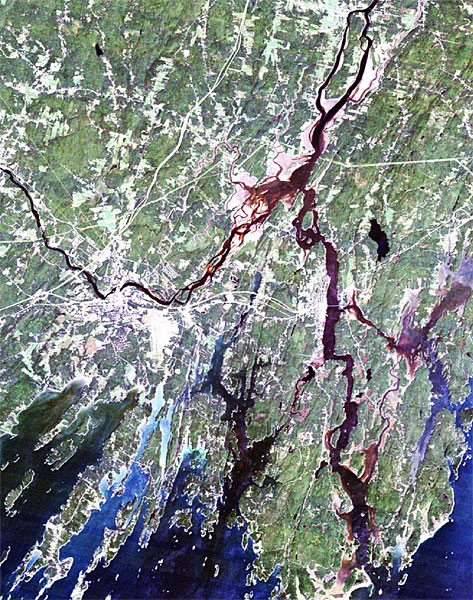
Maps can be the easiest and most attractive way to display data. Our search into the history of Merrymeeting Bay has uncovered many old maps that show changes in land and water use over time. While the new maps created though Geographic Information Systems (GIS) facilitate the viewing of ecological patterns observed in the waters of Merrymeeting Bay and the surrounding watershed.
 |
 |
| Aerial Map of Merrymeeting Bay | Bowdoin Mill, Topsham, Maine Aerial photo - present day Sanborn map - 1884 Building outlines Sanborn map 1923 |
 |
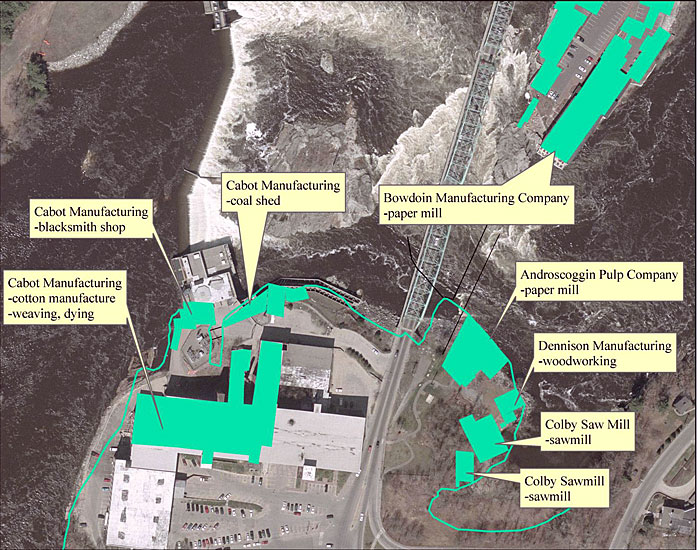 |
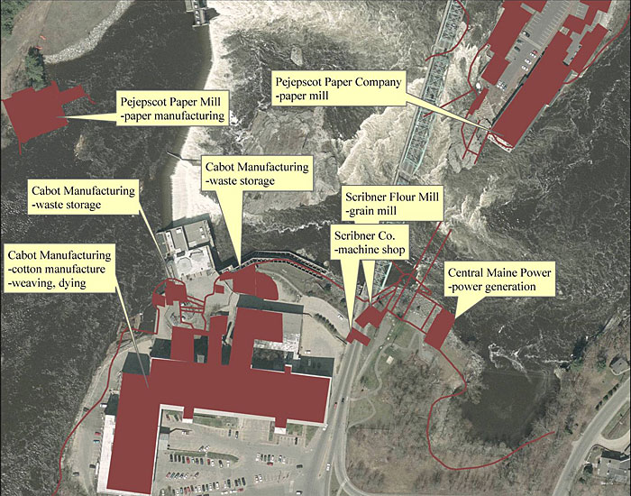
| Brunswick Waterfront 1923 | Brunswick Waterfront 2005 |
 |

|
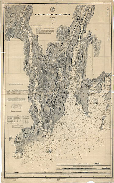
| Old Map of Merrymeeting Bay | Map of Merrymeeting Bay |